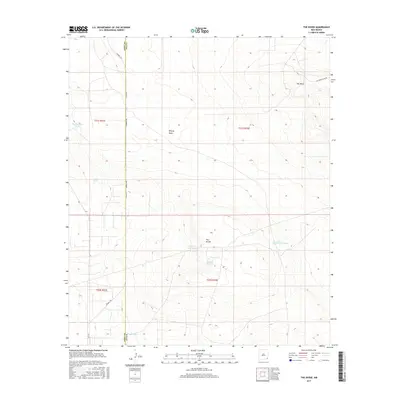
2017 Map of The Divide
USGS Topo · Published 2017About this map
The Divide characterizes this high-plains landscape along the border of Eddy and Lea Counties, where the terrain transitions toward the distinct elevation of Hat Mesa. This 2017 survey by the U.S. Geological Survey details a region defined by its water management and ranching infrastructure. Numerous catchment basins, including Rockbottom Tank, Lost Tank, and the School Section Tanks, are mapped across the arid expanse, providing essential data for land use and hydrological study. The northern portion of the quadrangle is marked by Bilbrey Basin, while Campbell Rd serves as the primary artery through this sparsely populated territory. The map illustrates the Public Land Survey System grid, highlighting sections within T21S and T22S that dictate the geographic organization of this part of New Mexico.
Find a feature on this map
15 named features on this map. Tap any name to fly to it.
Don’t see what you’re looking for? This feature index may not catch every label — zoom into the map to look around manually.
Map Details
Editions of this 2017 The Divide Map
This is the sole edition of this map. No revisions or reprints were ever made.
Other maps of this area

1939 · Nash Draw
USGS Topo · 1:62,500

1942 · Clayton Basin
USGS Topo · 1:62,500

1943 · Clayton Basin
USGS Topo · 1:62,500

1943 · Nash Draw
USGS Topo · 1:62,500

1954 · Hobbs
USGS Topo · 1:250,000

1958 · Hobbs
USGS Topo · 1:250,000

1963 · Laguna Gatuna
USGS Topo · 1:62,500

1963 · Hat Mesa
USGS Topo · 1:62,500

1978 · Jal
USGS Topo · 1:100,000

1984 · Lea
USGS Topo · 1:24,000