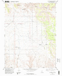
1983 Map of The Frying Pan
USGS Topo · Published 1991About this map
Cedar Mountain and its eastern peak anchor the northern landscape of this interior desert region, where water management is the primary evidence of human activity. The 1983 revision of this area reveals a network of essential water sources and infrastructure, including the Last Chance Well and multiple catchments such as the Moroni Slopes Catchment and the Frying Pan Catchment. These features highlight the effort to capture runoff from the high ground of the Moroni Slopes and Horse Heaven to sustain life and livestock in a high-elevation arid environment.
Find a feature on this map
24 named features on this map. Tap any name to fly to it.
Don’t see what you’re looking for? This feature index may not catch every label — zoom into the map to look around manually.
Map Details
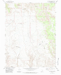
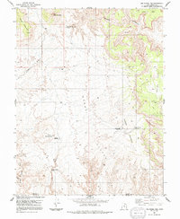
Editions of this 1983 The Frying Pan Map
3 editions found
Other maps of this area

1885 · San Rafael
USGS Topo · 1:250,000

1885 · Fish Lake
USGS Topo · 1:250,000

1896 · Fish Lake
USGS Topo · 1:250,000

1952 · Wild Horse
USGS Topo · 1:62,500

1953 · Emery 4 NE
USGS Topo · 1:24,000

1953 · Emery 4 SE
USGS Topo · 1:24,000

1954 · Stinking Spring Creek 3 NW
USGS Topo · 1:24,000

1954 · Stinking Spring Creek 3 SW
USGS Topo · 1:24,000

1954 · Mt. Ellen 2 NW
USGS Topo · 1:24,000

1954 · Notom 1 NE
USGS Topo · 1:24,000