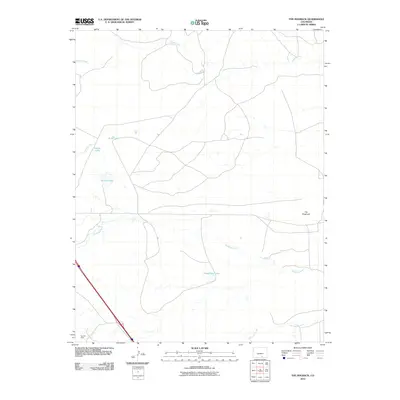
2010 Map of The Hogback
USGS Topo · Published 2010About this map
The high plains and rugged breaks of southern Colorado are defined here by The Hogback, a prominent ridge line that overlooks a complex system of water management and industrial history. The Apishapa River winds through the central portion of the landscape, supplemented by engineered waterways like Borrego Ditch and Saiz Ditch, reflecting the critical importance of irrigation in this semi-arid environment. Several small impoundments, including Gabriel Lake, Jones Lake, and Freeburrow Lake, are scattered across the terrain.
Find a feature on this map
11 named features on this map. Tap any name to fly to it.
Don’t see what you’re looking for? This feature index may not catch every label — zoom into the map to look around manually.
Map Details
Editions of this 2010 The Hogback Map
This is the sole edition of this map. No revisions or reprints were ever made.
Other maps of this area

1891 · Walsenburg
USGS Topo · 1:125,000

1891 · Spanish Peaks
USGS Topo · 1:125,000

1891 · Apishapa
USGS Topo · 1:125,000

1892 · Elmoro
USGS Topo · 1:125,000

1893 · Spanish Peaks
USGS Topo · 1:125,000

1893 · Apishapa
USGS Topo · 1:125,000

1893 · Elmoro
USGS Topo · 1:125,000

1894 · Walsenburg
USGS Topo · 1:125,000

1895 · Spanish Peaks
USGS Topo · 1:125,000

1897 · Walsenburg
USGS Topo · 1:125,000