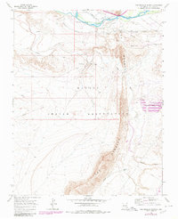
1966 Map of The Hogback North
USGS Topo · Published 1980About this map
The dramatic ridge of The Hogback dominates this landscape within the Navajo Indian Reservation, serving as a striking geological boundary that dictates the flow of local industry and water management. To the north, the San Juan River provides the vital water source for the Fruitland Irrigation Canal and Hogback Canal, infrastructure essential for high-desert agriculture. The map captures the mid-century industrial footprint of San Juan County, notably the Hogback Oil Field and various extractive sites such as a Borrow Pit and Gravel Pits. Water and waste management are central themes, evidenced by the presence of Tailings Ponds and an Aqueduct. These features, along with the meandering Chaco River and Chinde Wash, illustrate the complex relationship between the area's natural topography and the human efforts to harness its resources.
Find a feature on this map
16 named features on this map. Tap any name to fly to it.
Don’t see what you’re looking for? This feature index may not catch every label — zoom into the map to look around manually.
Map Details
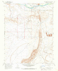
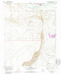
Editions of this 1966 The Hogback North Map
3 editions found
Other maps of this area

1889 · Chaco
USGS Topo · 1:250,000

1892 · Chaco
USGS Topo · 1:250,000

1927 · Sulphur Spring
USGS Topo · 1:96,000

1928 · Kirtland
USGS Topo · 1:125,000

1932 · Kirtland
USGS Topo · 1:125,000

1934 · Chimney Rock
USGS Topo · 1:62,500

1936 · Chimney Rock
USGS Topo · 1:62,500

1954 · Shiprock
USGS Topo · 1:250,000

1958 · Shiprock
USGS Topo · 1:250,000

1959 · Shiprock
USGS Topo · 1:250,000