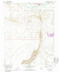
1966 Map of The Hogback North
USGS Topo · Published 1986About this map
The Hogback dominates this San Juan County landscape, forming a dramatic geological spine that separates the western reaches of the Navajo Indian Reservation from the valley to the east. By the mid-1960s, this area supported significant energy and agricultural infrastructure. The presence of the Hogback Oil Field and various pipelines reveals the industrial footprint of petroleum extraction, while the Fruitland Irrigation Canal draws water from the San Juan River to sustain the Jewett Valley area. The confluence of the Chaco River and the San Juan River highlights a complex drainage system, further marked by the presence of Tailings Ponds and several Gravel Pits, indicating an era of active mineral processing and land use within the reservation boundaries.
Find a feature on this map
15 named features on this map. Tap any name to fly to it.
Don’t see what you’re looking for? This feature index may not catch every label — zoom into the map to look around manually.
Map Details
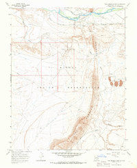
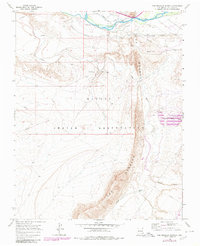
Editions of this 1966 The Hogback North Map
3 editions found
Other maps of this area

1889 · Chaco
USGS Topo · 1:250,000

1892 · Chaco
USGS Topo · 1:250,000

1927 · Sulphur Spring
USGS Topo · 1:96,000

1928 · Kirtland
USGS Topo · 1:125,000

1932 · Kirtland
USGS Topo · 1:125,000

1934 · Chimney Rock
USGS Topo · 1:62,500

1936 · Chimney Rock
USGS Topo · 1:62,500

1954 · Shiprock
USGS Topo · 1:250,000

1958 · Shiprock
USGS Topo · 1:250,000

1959 · Shiprock
USGS Topo · 1:250,000