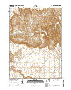
2014 Map of The Hole in the Ground
USGS Topo · Published 2014About this map
Owyhee River carving through the arid high desert of Malheur County characterizes this 2014 survey. The topography is defined by significant volcanic and erosional formations, most notably the large depression known as The Hole in the Ground and the dramatic Owyhee Breaks. This landscape serves as a vital catchment area for local ranching and water management, evidenced by a dense network of small reservoirs and springs including Riley Horn Reservoir, Wednesday Reservoir, and Deer Butte Reservoir Number One.
Find a feature on this map
35 named features on this map. Tap any name to fly to it.
Don’t see what you’re looking for? This feature index may not catch every label — zoom into the map to look around manually.
Map Details
Editions of this 2014 The Hole in the Ground Map
This is the sole edition of this map. No revisions or reprints were ever made.
Other maps of this area

1955 · Boise
USGS Topo · 1:250,000

1958 · Boise
USGS Topo · 1:250,000

1962 · Boise
USGS Topo · 1:250,000

1967 · Diamond Butte
USGS Topo · 1:24,000

1969 · Jordan Craters South
USGS Topo · 1:24,000

1969 · Jordan Craters North
USGS Topo · 1:24,000

1972 · Cedar Mountain
USGS Topo · 1:24,000
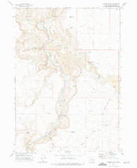
1972 · Lambert Rocks
USGS Topo · 1:24,000

1972 · Big Mud Flat
USGS Topo · 1:24,000
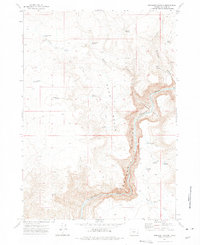
1972 · Rinehart Canyon
USGS Topo · 1:24,000