
1919 Map of The Jetties
USGS Topo · Published 1919About this map
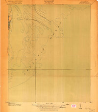
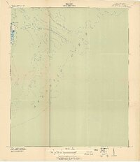
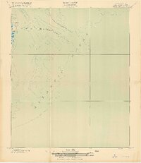
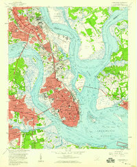
The North Jetty and South Jetty define the hydraulic engineering at the mouth of Charleston Harbor as it stood just after the Great War. This Progressive Military Map, produced by the Corps of Engineers, U. S. Army in cooperation with the U. S. Coast and Geodetic Survey, focuses heavily on coastal bathymetry and the maintenance of maritime navigation channels. The northern tip of Morris Island is visible at the edge of the sheet, anchored by the landmark Cummings Point. Because this is a hydrographic-focused chart, it provides detailed underwater contours for the Atlantic Ocean floor, illustrating the complex shoals and sandbars that the jetties were designed to scour and manage to ensure safe passage for shipping into one of the South's most significant ports.
Find a feature on this map
5 named features on this map. Tap any name to fly to it.
Don’t see what you’re looking for? This feature index may not catch every label — zoom into the map to look around manually.
Map Details
Editions of this 1919 The Jetties Map
4 editions found
Other maps of this area

1919 · Capers Island
USGS Topo · 1:21,120

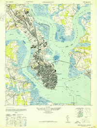
1919 · Charleston
USGS Topo · 1:21,120

1919 · James Island
USGS Topo · 1:21,120

1919 · Fort Moultrie
USGS Topo · 1:21,120

1943 · Capers Island
USGS Topo · 1:24,000

1943 · Fort Moultrie
USGS Topo · 1:24,000

1943 · James Island
USGS Topo · 1:24,000

1948 · James Island
USGS Topo · 1:250,000
1948 · Charleston
USGS Topo · 1:24,000
1958 · Charleston
USGS Topo · 1:24,000