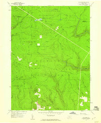
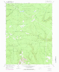
1959 Map of The Knobs
USGS Topo · Published 1960About this map
Moshannon State Forest and Girard State Forest dominate this late 1950s landscape, illustrating a region defined by public timberlands and conservation areas rather than dense settlements. The terrain is deeply dissected by a network of waterways including Mosquito Creek, Gifford Run, and Jack Dent Run. Resource extraction and land management are evident through the presence of a Strip Mine in the south and various gas wells connected by an extensive pipeline network in the north.
Find a feature on this map
41 named features on this map. Tap any name to fly to it.
Don’t see what you’re looking for? This feature index may not catch every label — zoom into the map to look around manually.
Map Details
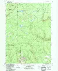
Editions of this 1959 The Knobs Map
6 editions found
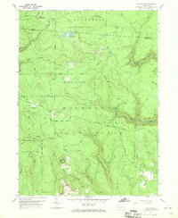
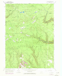
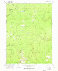
Other maps of this area

1929 · Karthaus
USGS Topo · 1:62,500

1929 · Clearfield
USGS Topo · 1:48,000

1932 · Clearfield
USGS Topo · 1:62,500

1932 · Karthaus
USGS Topo · 1:62,500

1941 · Benezette
USGS Topo · 1:62,500

1943 · Benezette
USGS Topo · 1:62,500

1945 · Driftwood
USGS Topo · 1:48,000

1945 · Driftwood
USGS Topo · 1:24,000
1947 · Driftwood
USGS Topo · 1:24,000

1957 · Warren
USGS Topo · 1:250,000