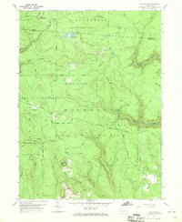
1959 Map of The Knobs
USGS Topo · Published 1970About this map
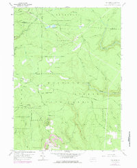
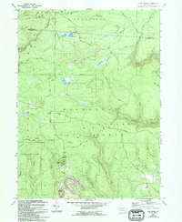
Moshannon State Forest covers the majority of this landscape in the late 1950s, a rugged expanse defined by high ridges and deep stream cuts. The terrain is dominated by prominent elevations like Old Round Top and Chestnut Ridge, while the central portion is notable for the Knobs Lookout Tower, which provides a vital oversight point for this wooded territory. Water drainage is intricate, with Mosquito Creek and Gifford Run carving through the plateau, creating a complex network of runs and creeks including Duck Marshes and Little Sandy Run.
Find a feature on this map
33 named features on this map. Tap any name to fly to it.
Don’t see what you’re looking for? This feature index may not catch every label — zoom into the map to look around manually.
Map Details
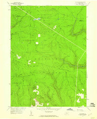
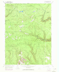
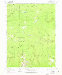
Editions of this 1959 The Knobs Map
6 editions found
Other maps of this area

1929 · Karthaus
USGS Topo · 1:62,500

1929 · Clearfield
USGS Topo · 1:48,000

1932 · Clearfield
USGS Topo · 1:62,500

1932 · Karthaus
USGS Topo · 1:62,500

1941 · Benezette
USGS Topo · 1:62,500

1943 · Benezette
USGS Topo · 1:62,500

1945 · Driftwood
USGS Topo · 1:48,000

1945 · Driftwood
USGS Topo · 1:24,000
1947 · Driftwood
USGS Topo · 1:24,000

1957 · Warren
USGS Topo · 1:250,000