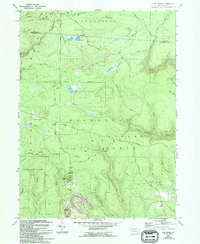
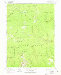
1959 Map of The Knobs
USGS Topo · Published 1994About this map
The rugged high plateaus of Clearfield County are defined by vast forest tracts and a long history of resource extraction. This landscape is dominated by the Moshannon and Girard state forest areas, where elevations culminate at peaks like Old Round Top and Big Knob. The latter is home to the Knobs Lookout Tower, a critical point for fire observation in these dense woods. Evidence of the region's energy economy is visible in the numerous Gas Wells dotting the ridges and the Strip Mines and Reclaimed Strip Mines concentrated near The Knobs. The intricate network of headwater streams, including Mosquito Creek and Gifford Run, carves through the terrain, while historic routes like the Caledonia Pike and Frenchville Trail provide the primary access into these wooded game lands.
Find a feature on this map
41 named features on this map. Tap any name to fly to it.
Don’t see what you’re looking for? This feature index may not catch every label — zoom into the map to look around manually.
Map Details
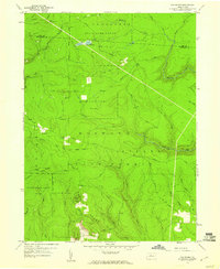
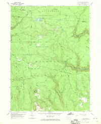
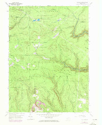
Editions of this 1959 The Knobs Map
6 editions found
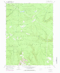
Other maps of this area

1929 · Karthaus
USGS Topo · 1:62,500

1929 · Clearfield
USGS Topo · 1:48,000

1932 · Clearfield
USGS Topo · 1:62,500

1932 · Karthaus
USGS Topo · 1:62,500

1941 · Benezette
USGS Topo · 1:62,500

1943 · Benezette
USGS Topo · 1:62,500

1945 · Driftwood
USGS Topo · 1:48,000

1945 · Driftwood
USGS Topo · 1:24,000
1947 · Driftwood
USGS Topo · 1:24,000

1957 · Warren
USGS Topo · 1:250,000