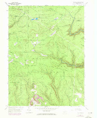
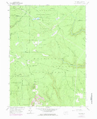
1959 Map of The Knobs
USGS Topo · Published 1972About this map
Moshan Non State Forest and Girard State Forest dominate this wooded landscape on the border of Elk and Clearfield Counties. Surveyed in 1958 with updates through the early 1970s, the map reveals a rugged terrain defined by significant elevation changes, most notably at the namesake The Knobs and Old Round Top. A prominent Knobs Lookout Tower stands as a focal point for forest management and fire prevention in this densely timbered region.
Find a feature on this map
40 named features on this map. Tap any name to fly to it.
Don’t see what you’re looking for? This feature index may not catch every label — zoom into the map to look around manually.
Map Details
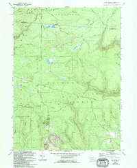
Editions of this 1959 The Knobs Map
6 editions found
Other maps of this area

1929 · Karthaus
USGS Topo · 1:62,500

1929 · Clearfield
USGS Topo · 1:48,000

1932 · Clearfield
USGS Topo · 1:62,500

1932 · Karthaus
USGS Topo · 1:62,500

1941 · Benezette
USGS Topo · 1:62,500

1943 · Benezette
USGS Topo · 1:62,500

1945 · Driftwood
USGS Topo · 1:48,000

1945 · Driftwood
USGS Topo · 1:24,000
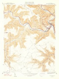
1947 · Driftwood
USGS Topo · 1:24,000

1957 · Warren
USGS Topo · 1:250,000