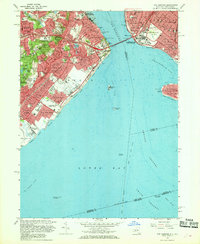
1966 Map of The Narrows
USGS Topo · Published 1968About this map
The Narrows serves as the central focal point of this coastal survey, where the recently completed Verrazano-Narrows Bridge links the dense residential grids of Brooklyn to the sprawling hills of Staten Island. The landscape transitions from the developed shorelines of Stapleton and Clifton to the significant elevations of Todt Hill, overlooking a complex network of schools and religious institutions such as St Josephs Hill Academy and St Charles Borromeo Seminary.
Find a feature on this map
116 named features on this map. Tap any name to fly to it.
Don’t see what you’re looking for? This feature index may not catch every label — zoom into the map to look around manually.
Map Details
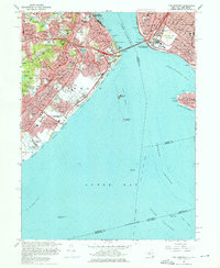
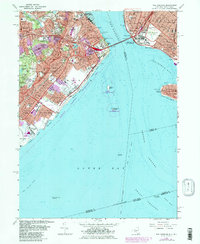
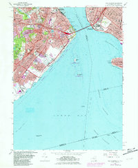
Editions of this 1966 The Narrows Map
4 editions found
Other maps of this area

1888 · Sandy Hook
USGS Topo · 1:62,500

1889 · Brooklyn
USGS Topo · 1:62,500

1891 · Brooklyn
USGS Topo · 1:62,500

1893 · Sandy Hook
USGS Topo · 1:62,500

1897 · Brooklyn
USGS Topo · 1:62,500

1898 · Staten Island
USGS Topo · 1:62,500

1898 · Brooklyn
USGS Topo · 1:62,500

1900 · Passaic
USGS Topo · 1:125,000

1900 · Staten Island
USGS Topo · 1:62,500

1900 · Brooklyn
USGS Topo · 1:62,500