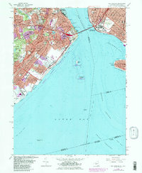
1966 Map of The Narrows
USGS Topo · Published 1982About this map
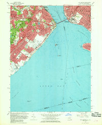
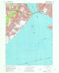
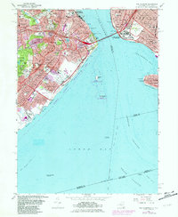
The Narrows serves as the central focal point of this 1966 survey, revised in 1981, which illustrates the complex coastal defenses and established neighborhoods of Richmond and Brooklyn. The map captures a period of significant urban density on Staten Island, tracing the Staten Island Rapid Transit line through communities like New Dorp, Grasmere, and Grant City. Coastal features are prominently detailed, from the residential enclave of Seagate on Coney Island to the sprawling Moravian Cemetery and the military grounds of Fort Wadsworth.
Find a feature on this map
129 named features on this map. Tap any name to fly to it.
Don’t see what you’re looking for? This feature index may not catch every label — zoom into the map to look around manually.
Map Details
Editions of this 1966 The Narrows Map
4 editions found
Other maps of this area

1888 · Sandy Hook
USGS Topo · 1:62,500

1889 · Brooklyn
USGS Topo · 1:62,500

1891 · Brooklyn
USGS Topo · 1:62,500

1893 · Sandy Hook
USGS Topo · 1:62,500

1897 · Brooklyn
USGS Topo · 1:62,500

1898 · Staten Island
USGS Topo · 1:62,500

1898 · Brooklyn
USGS Topo · 1:62,500

1900 · Passaic
USGS Topo · 1:125,000

1900 · Staten Island
USGS Topo · 1:62,500

1900 · Brooklyn
USGS Topo · 1:62,500