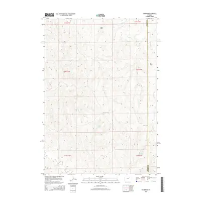
2015 Map of The Nipple
USGS Topo · Published 2015About this map
The Nipple rises as a prominent landmark on this high plains landscape along the border of Campbell and Johnson counties. This 2015 survey reveals an arid terrain defined by a network of seasonal watercourses and drainages, including Hood Draw, Windmill Draw, and Craney Draw. The scarcity of permanent water is highlighted by the identification of specific water sources like School Section Spring and Craney Spring, which likely served as critical points for local ranching operations.
Find a feature on this map
15 named features on this map. Tap any name to fly to it.
Don’t see what you’re looking for? This feature index may not catch every label — zoom into the map to look around manually.
Map Details
Editions of this 2015 The Nipple Map
This is the sole edition of this map. No revisions or reprints were ever made.
Other maps of this area

1953 · Hoe Ranch
USGS Topo · 1:24,000

1953 · Fort Reno
USGS Topo · 1:24,000

1953 · Fort Reno SE
USGS Topo · 1:24,000

1953 · Fats Draw
USGS Topo · 1:24,000

1953 · The Nipple
USGS Topo · 1:24,000

1953 · North Butte
USGS Topo · 1:24,000

1954 · Gillette
USGS Topo · 1:250,000

1955 · Newcastle
USGS Topo · 1:250,000

1955 · Sheridan
USGS Topo · 1:250,000

1955 · Arminto
USGS Topo · 1:250,000