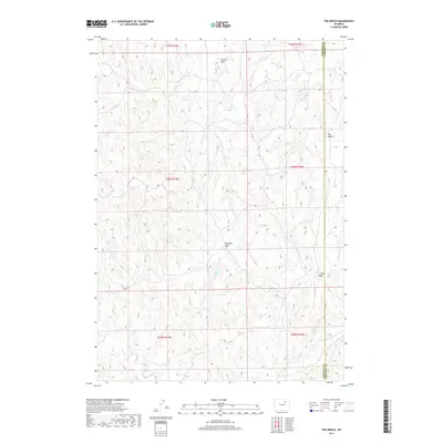
2017 Map of The Nipple
USGS Topo · Published 2017About this map
The Nipple rises as the primary landmark in this drainage-carved landscape of northeast Wyoming, where the border of Johnson and Campbell Counties tracks across the high plains. The terrain is defined by a network of seasonal watercourses and intermittent springs that supported the region’s ranching economy. Significant water sources like School Section Spring and Craney Spring are critical markers in this arid environment, while the northern reaches are drained by Pumpkin Creek. The layout of the land is further articulated by deep coulees such as Hood Draw, Windmill Draw, and Craney Draw, which cut through the topography. This 2017 survey illustrates the enduring patterns of land use and property boundaries in a region where water rights and named landmarks dictate the geography of the range.
Find a feature on this map
16 named features on this map. Tap any name to fly to it.
Don’t see what you’re looking for? This feature index may not catch every label — zoom into the map to look around manually.
Map Details
Editions of this 2017 The Nipple Map
This is the sole edition of this map. No revisions or reprints were ever made.
Other maps of this area

1953 · Hoe Ranch
USGS Topo · 1:24,000

1953 · Fort Reno
USGS Topo · 1:24,000

1953 · Fort Reno SE
USGS Topo · 1:24,000

1953 · Fats Draw
USGS Topo · 1:24,000

1953 · The Nipple
USGS Topo · 1:24,000

1953 · North Butte
USGS Topo · 1:24,000

1954 · Gillette
USGS Topo · 1:250,000

1955 · Newcastle
USGS Topo · 1:250,000

1955 · Sheridan
USGS Topo · 1:250,000

1955 · Arminto
USGS Topo · 1:250,000