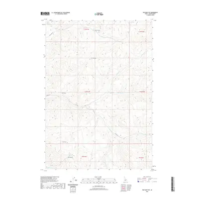
2020 Map of The Paint Pot
USGS Topo · Published 2020About this map
The Paint Pot serves as a central landmark in this high-desert region of Custer County, where the terrain is defined by a series of drainages and named springs. The landscape is marked by a network of seasonal water sources and geographic depressions such as Sand Hollow and Dry Hollow. Access through this area is primarily facilitated by primitive routes like Spar Canyon Rd and Walker Way, which wind through the township and range divisions. The distribution of water is critical in this environment, evidenced by the numerous named points of interest for local hydrology including Bear Wallow Spring, Johnston Spring, and White Colt Spring. These features suggest a history of land use focused on livestock or transit through the mountain basins, where reliable water at locations like Spring Gulch Spring and along Horse Basin Cr would be essential for survival in the arid Idaho interior.
Find a feature on this map
24 named features on this map. Tap any name to fly to it.
Don’t see what you’re looking for? This feature index may not catch every label — zoom into the map to look around manually.
Map Details
Editions of this 2020 The Paint Pot Map
This is the sole edition of this map. No revisions or reprints were ever made.
Other maps of this area
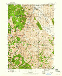
1929 · Bayhorse
USGS Topo · 1:125,000

1957 · Challis
USGS Topo · 1:250,000

1960 · Challis
USGS Topo · 1:250,000

1963 · Challis
USGS Topo · 1:250,000
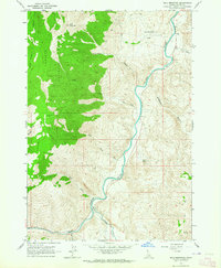
1963 · Bald Mountain
USGS Topo · 1:24,000
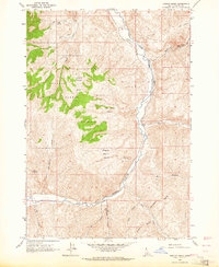
1963 · Ziegler Basin
USGS Topo · 1:24,000
1963 · Bowery Peak
USGS Topo · 1:24,000
1963 · Clayton
USGS Topo · 1:62,500
1963 · Lone Pine Peak
USGS Topo · 1:62,500
1963 · Antelope Flat
USGS Topo · 1:24,000