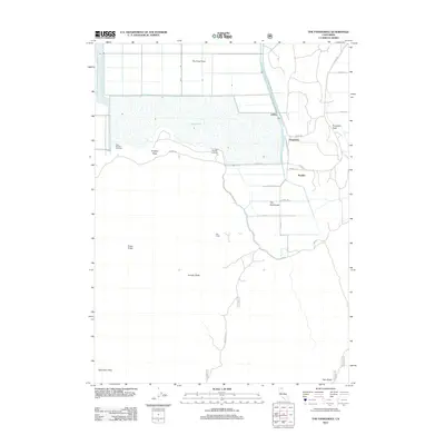
2012 Map of The Panhandle
USGS Topo · Published 2012About this map
Tule Lake dominates the northern expanse of this Modoc County landscape, surrounded by a grid of rural infrastructure and wildlife management areas. The small settlements of Liskey, Hannchen, and Kandra are positioned along the eastern marshlands, connected by a network of local roads such as Great Northern Rd and Co Hwy 124. To the north, The Frog Pond sits within a partitioned agricultural layout, illustrating the systematic reclamation and management of this aquatic environment.
Find a feature on this map
28 named features on this map. Tap any name to fly to it.
Don’t see what you’re looking for? This feature index may not catch every label — zoom into the map to look around manually.
Map Details
Editions of this 2012 The Panhandle Map
This is the sole edition of this map. No revisions or reprints were ever made.
Other maps of this area

1886 · Modoc Lava Bed
USGS Topo · 1:250,000

1892 · Modoc Lava-Bed
USGS Topo · 1:250,000

1950 · Mt. Dome
USGS Topo · 1:62,500

1951 · Tulelake
USGS Topo · 1:62,500

1952 · Timber Mountain
USGS Topo · 1:62,500

1952 · Medicine Lake
USGS Topo · 1:62,500

1954 · Alturas
USGS Topo · 1:250,000

1958 · Alturas
USGS Topo · 1:250,000

1962 · Alturas
USGS Topo · 1:250,000

1965 · Alturas
USGS Topo · 1:250,000