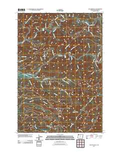
2011 Map of The Peninsula
USGS Topo · Published 2011About this map
The Wilson River and Trask River systems converge in this section of the Oregon Coast Range, where the terrain is marked by high ridges and deep river bends. Significant landmarks such as The Peninsula and Blue Ridge define the vertical relief, while the Trask River State Fish Hatchery stands as a primary point of human activity in an otherwise sparsely settled region.
Find a feature on this map
57 named features on this map. Tap any name to fly to it.
Don’t see what you’re looking for? This feature index may not catch every label — zoom into the map to look around manually.
Map Details
Editions of this 2011 The Peninsula Map
This is the sole edition of this map. No revisions or reprints were ever made.
Other maps of this area

1937 · Nehalem
USGS Topo · 1:62,500

1937 · Enright
USGS Topo · 1:62,500

1941 · Enright
USGS Topo · 1:62,500

1942 · Ginger Peak
USGS Topo · 1:62,500

1942 · Tillamook
USGS Topo · 1:62,500

1943 · Nehalem
USGS Topo · 1:62,500

1948 · Vancouver
USGS Topo · 1:250,000

1950 · Vancouver
USGS Topo · 1:250,000

1950 · Vancouver
USGS Topo · 1:250,000

1955 · Blaine
USGS Topo · 1:62,500