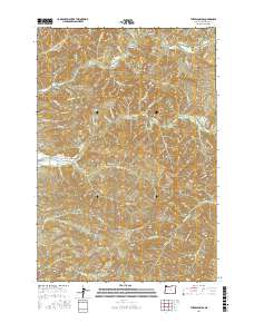
2017 Map of The Peninsula
USGS Topo · Published 2017About this map
The Peninsula rises between the winding forks of the Trask River, while the Wilson River cuts through the northern reaches of this coastal mountain landscape. This area is defined by its dramatic relief and a network of logging and access roads like Trask River Rd and Smith Creek Rd that navigate the steep drainages. Local landmarks such as The Blue Hole and The Dam Hole suggest specific points of interest along the water, while the small settlement at Mills Bridge provides a rare point of human habitation in a region dominated by high points like Ginger Peak and Edwards Butte. The drainage patterns of named creeks, including Negro Jack Cr and Killam Cr, illustrate the complex topography of the Oregon Coast Range, where ridges like Blue Ridge and Tillison Ridge separate deep river valleys. This modern survey provides a clear view of the elevation and hydrology that have long dictated movement and industry in Tillamook County.
Find a feature on this map
50 named features on this map. Tap any name to fly to it.
Don’t see what you’re looking for? This feature index may not catch every label — zoom into the map to look around manually.
Map Details
Editions of this 2017 The Peninsula Map
This is the sole edition of this map. No revisions or reprints were ever made.
Other maps of this area
1937 · Nehalem
USGS Topo · 1:62,500
1937 · Enright
USGS Topo · 1:62,500
1941 · Enright
USGS Topo · 1:62,500
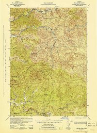
1942 · Ginger Peak
USGS Topo · 1:62,500
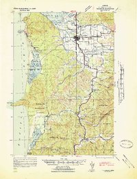
1942 · Tillamook
USGS Topo · 1:62,500
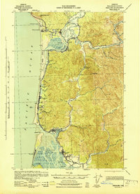
1943 · Nehalem
USGS Topo · 1:62,500

1948 · Vancouver
USGS Topo · 1:250,000
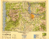
1950 · Vancouver
USGS Topo · 1:250,000
1950 · Vancouver
USGS Topo · 1:250,000
1955 · Blaine
USGS Topo · 1:62,500