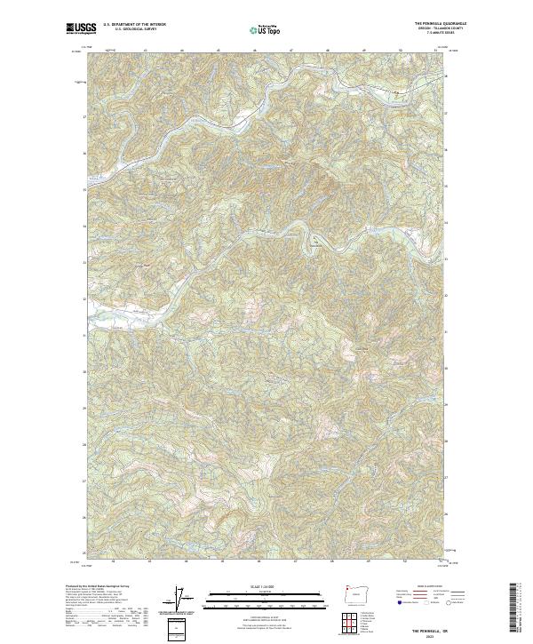
2023 Map of The Peninsula
USGS Topo · Published 2023About this map
The Peninsula creates a sharp, narrow bend in the Trask River, marking a focal point of this Tillamook County landscape. To the north, the Wilson River and the Little North Fork Wilson River traverse the region, with the notable deep spot known as The Blue Hole found along the main river channel. The topography is defined by significant elevations such as Ginger Peak, Gold Peak, and Edwards Butte, connected by a network of logging and access roads including the Wilson River Toll Rd and Trask River Rd. This survey documents a vital watershed area, illustrating the complex drainage patterns of creeks like Killam Creek and Fawcett Creek as they flow from high ridges such as Tillison Ridge and Blue Ridge into the primary river systems.
Find a feature on this map
52 named features on this map. Tap any name to fly to it.
Don’t see what you’re looking for? This feature index may not catch every label — zoom into the map to look around manually.
Map Details
Editions of this 2023 The Peninsula Map
This is the sole edition of this map. No revisions or reprints were ever made.
Other maps of this area

1937 · Nehalem
USGS Topo · 1:62,500

1937 · Enright
USGS Topo · 1:62,500

1941 · Enright
USGS Topo · 1:62,500

1942 · Ginger Peak
USGS Topo · 1:62,500

1942 · Tillamook
USGS Topo · 1:62,500

1943 · Nehalem
USGS Topo · 1:62,500

1948 · Vancouver
USGS Topo · 1:250,000

1950 · Vancouver
USGS Topo · 1:250,000

1950 · Vancouver
USGS Topo · 1:250,000

1955 · Blaine
USGS Topo · 1:62,500