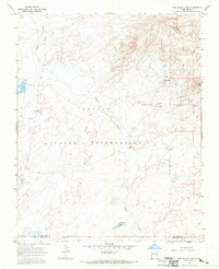
1966 Map of The Pillar 3 SE
USGS Topo · Published 1969About this map
The Navajo Indian Reservation landscape is defined by the winding course of Indian Creek as it moves across the high desert terrain of northwest New Mexico. Surveyed in the mid-1960s, this area reflects a sparse but functional infrastructure tailored to ranching and mineral exploration. Distinctive geological markers like White Rock and Red Hill provided essential navigational aids in a territory marked by vast open spaces and limited development. Scattered evidence of human activity is found in a solitary Mine, several wells, and a Corral, indicating the seasonal or industrial use of these lands. In the southern portion of the sheet, the presence of a Spillway and a Riser points to localized water management efforts near the border of San Juan and McKinley Counties.
Find a feature on this map
11 named features on this map. Tap any name to fly to it.
Don’t see what you’re looking for? This feature index may not catch every label — zoom into the map to look around manually.
Map Details
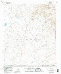
Editions of this 1966 The Pillar 3 SE Map
2 editions found
Other maps of this area

1886 · Wingate
USGS Topo · 1:250,000

1889 · Chaco
USGS Topo · 1:250,000

1892 · Wingate
USGS Topo · 1:250,000

1892 · Chaco
USGS Topo · 1:250,000

1954 · Shiprock
USGS Topo · 1:250,000

1954 · Gallup
USGS Topo · 1:250,000

1958 · Gallup
USGS Topo · 1:250,000

1958 · Shiprock
USGS Topo · 1:250,000

1959 · Shiprock
USGS Topo · 1:250,000

1959 · Gallup
USGS Topo · 1:250,000
Featured Places
- Fort Defiance Agency
- Eastern Navajo Agency, NM
- White Rock, Eastern Navajo Agency
- San Juan County, NM
- McKinley County, NM