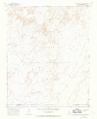
1966 Map of The Pillar 3 SW
USGS Topo · Published 1969About this map
The Navajo Indian Reservation landscape is defined by its intricate drainage patterns and mesa topography in this mid-1960s study. Spanning the border of San Juan Co and McKinley Co, the terrain is largely uninhabited, characterized by a complex network of dry washes and high-desert contours. The absence of formal settlements highlights the isolation of this corner of New Mexico, where geographic features dictate the movement across the high plateau. Researchers of tribal lands and desert topography can trace the natural landforms that remained largely undisturbed by major development at the time of this survey.
Find a feature on this map
2 named features on this map. Tap any name to fly to it.
Don’t see what you’re looking for? This feature index may not catch every label — zoom into the map to look around manually.
Map Details
Editions of this 1966 The Pillar 3 SW Map
2 editions found
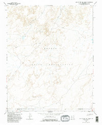
Other maps of this area

1886 · Wingate
USGS Topo · 1:250,000

1889 · Chaco
USGS Topo · 1:250,000

1892 · Wingate
USGS Topo · 1:250,000

1892 · Chaco
USGS Topo · 1:250,000

1954 · Shiprock
USGS Topo · 1:250,000

1954 · Gallup
USGS Topo · 1:250,000

1958 · Gallup
USGS Topo · 1:250,000

1958 · Shiprock
USGS Topo · 1:250,000

1959 · Shiprock
USGS Topo · 1:250,000

1959 · Gallup
USGS Topo · 1:250,000