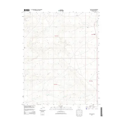
2013 Map of The Pillar
USGS Topo · Published 2013About this map
The Pillar serves as a prominent geographic anchor in this San Juan County landscape, marking a transition in the high desert terrain. The northeastern portion of the quadrangle is defined by the Bisti Oil Field, reflecting the area's industrial energy activity during the early 21st century. Natural drainage patterns are clearly etched into the earth, with the Pinabete Arroyo and Brimhall Wash cutting through the topography to channel seasonal runoff. The land is characterized by notable elevations such as Moncisco Mesa, while transportation is limited to the north-south corridor of NM-371 and local tracks like CO Road 7030. This survey offers a clear view of the sparse but critical infrastructure and natural landmarks in the Shiprock Agency area.
Find a feature on this map
12 named features on this map. Tap any name to fly to it.
Don’t see what you’re looking for? This feature index may not catch every label — zoom into the map to look around manually.
Map Details
Editions of this 2013 The Pillar Map
This is the sole edition of this map. No revisions or reprints were ever made.
Other maps of this area
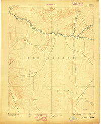
1889 · Chaco
USGS Topo · 1:250,000
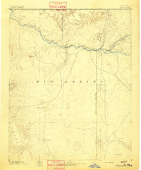
1892 · Chaco
USGS Topo · 1:250,000
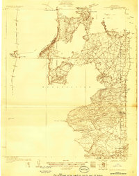
1927 · Sulphur Spring
USGS Topo · 1:96,000
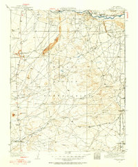
1928 · Kirtland
USGS Topo · 1:125,000
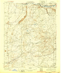
1932 · Kirtland
USGS Topo · 1:125,000

1954 · Shiprock
USGS Topo · 1:250,000
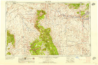
1958 · Shiprock
USGS Topo · 1:250,000
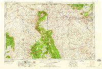
1959 · Shiprock
USGS Topo · 1:250,000
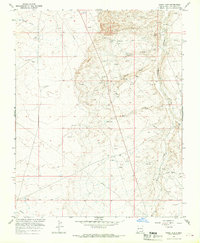
1965 · Hugh Lake
USGS Topo · 1:24,000
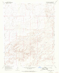
1966 · Alamo Mesa West
USGS Topo · 1:24,000