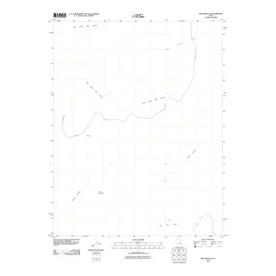
2010 Map of The Pinnacle
USGS Topo · Published 2010About this map
The Pinnacle rises as a prominent landmark in this desert landscape of southern Utah, overlooking a complex system of carved mesas and drainage basins. The area's topography is defined by significant geological features such as Sams Mesa and the expansive The Big Ridge, which dictate the natural flow of the terrain. Connectivity across this high-desert environment is limited primarily to the winding path of Sams Mesa Rd, reflecting a region where physical geography remains the dominant force over human development.
Find a feature on this map
10 named features on this map. Tap any name to fly to it.
Don’t see what you’re looking for? This feature index may not catch every label — zoom into the map to look around manually.
Map Details
Editions of this 2010 The Pinnacle Map
This is the sole edition of this map. No revisions or reprints were ever made.
Other maps of this area

1885 · San Rafael
USGS Topo · 1:250,000

1952 · Orange Cliffs 3 SW
USGS Topo · 1:24,000

1953 · Orange Cliffs 3 SE
USGS Topo · 1:24,000

1953 · Orange Cliffs 4 NW
USGS Topo · 1:24,000

1953 · Orange Cliffs 3 NE
USGS Topo · 1:24,000

1953 · Orange Cliffs 4 SW
USGS Topo · 1:24,000

1953 · Orange Cliffs 3 NW
USGS Topo · 1:24,000

1953 · The Spur
USGS Topo · 1:62,500

1953 · Fiddler Butte
USGS Topo · 1:62,500

1953 · Orange Cliffs
USGS Topo · 1:62,500