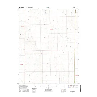
2016 Map of The Pinnacles
USGS Topo · Published 2016About this map
The Pinnacles rise as a prominent geological landmark in this high-plains landscape where the Crowley and Kiowa county lines meet. The terrain is defined by dry drainage systems including Black Draw and the extensive Sand Arroyo, which meanders across the eastern half of the survey. The Sand Arroyo Cem provides a specific point of interest for genealogists and local historians, sitting near the bank of its namesake waterway. This 2016 data reveals a systematic grid of county roads, such as Co RD BB and Co RD Aa, that navigate the subtle elevation changes near Cow Butte. The map documents a sparsely populated ranching or agricultural region where the traditional Public Land Survey System sections remain the primary organizing feature of the land.
Find a feature on this map
23 named features on this map. Tap any name to fly to it.
Don’t see what you’re looking for? This feature index may not catch every label — zoom into the map to look around manually.
Map Details
Editions of this 2016 The Pinnacles Map
This is the sole edition of this map. No revisions or reprints were ever made.
Other maps of this area
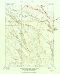
1889 · Sanborn
USGS Topo · 1:125,000
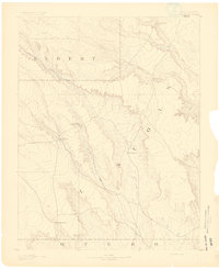
1891 · Sanborn
USGS Topo · 1:125,000
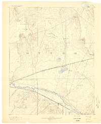
1891 · Catlin
USGS Topo · 1:125,000
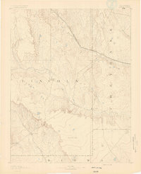
1891 · Arroyo
USGS Topo · 1:125,000
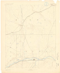
1891 · Las Animas
USGS Topo · 1:125,000
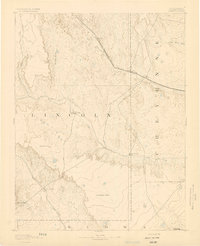
1893 · Arroyo
USGS Topo · 1:125,000
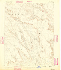
1893 · Sanborn
USGS Topo · 1:125,000
1893 · Las Animas
USGS Topo · 1:125,000
1893 · Catlin
USGS Topo · 1:125,000

1954 · Lamar
USGS Topo · 1:250,000