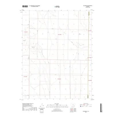
2019 Map of The Pinnacles
USGS Topo · Published 2019About this map
The Pinnacles and Cow Butte define the high ground of this eastern Colorado landscape, where the high plains meet the headwaters of local drainages. The area is characterized by a sparse network of county roads following the section lines of the Public Land Survey System, reflecting the wide-open agricultural and ranching layout of Kiowa County. Significant watercourses such as Sand Arroyo and Black Draw carve through the terrain, providing essential drainage in this arid environment. For those researching local heritage, the Sand Arroyo Cem stands as a primary point of historical interest, situated near the county boundary where Crowley and Kiowa counties meet. This 2019 data illustrates the persistent rural character of the region, where land use remains centered on large-scale ranching and the preservation of natural landmarks.
Find a feature on this map
25 named features on this map. Tap any name to fly to it.
Don’t see what you’re looking for? This feature index may not catch every label — zoom into the map to look around manually.
Map Details
Editions of this 2019 The Pinnacles Map
This is the sole edition of this map. No revisions or reprints were ever made.
Other maps of this area
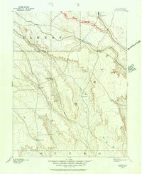
1889 · Sanborn
USGS Topo · 1:125,000
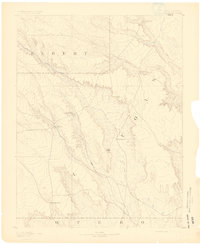
1891 · Sanborn
USGS Topo · 1:125,000
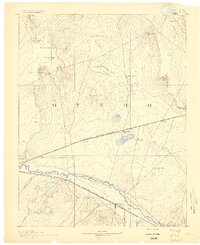
1891 · Catlin
USGS Topo · 1:125,000
1891 · Arroyo
USGS Topo · 1:125,000
1891 · Las Animas
USGS Topo · 1:125,000
1893 · Arroyo
USGS Topo · 1:125,000
1893 · Sanborn
USGS Topo · 1:125,000
1893 · Las Animas
USGS Topo · 1:125,000
1893 · Catlin
USGS Topo · 1:125,000

1954 · Lamar
USGS Topo · 1:250,000