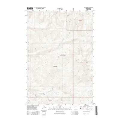
2014 Map of The Pyramid
USGS Topo · Published 2014About this map
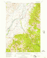
The Absaroka Range dominates this portion of the Gallatin National Forest in Park County, defined by high peaks and a complex network of alpine drainages. The landscape is anchored by the prominent summit of The Pyramid to the east and the strategic Mill Creek Pass in the north. This high-elevation terrain is characterized by numerous water sources, including the secluded Elbow Lake, Crystal Lake, and the cooling flow of Agate Springs.
Find a feature on this map
24 named features on this map. Tap any name to fly to it.
Don’t see what you’re looking for? This feature index may not catch every label — zoom into the map to look around manually.
Map Details
Editions of this 2014 The Pyramid Map
This is the sole edition of this map. No revisions or reprints were ever made.
Other maps of this area
1891 · Livingston
USGS Topo · 1:250,000
1893 · Livingston
USGS Topo · 1:250,000
1940 · Mt. Cowen
USGS Topo · 1:62,500
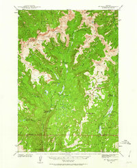
1940 · Mt Wallace
USGS Topo · 1:62,500
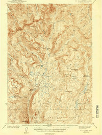
1943 · Mt Wallace
USGS Topo · 1:62,500
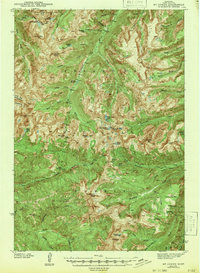
1943 · Mt Cowen
USGS Topo · 1:62,500

1947 · Bozeman
USGS Topo · 1:250,000

1948 · Bozeman
USGS Topo · 1:250,000
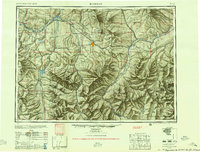
1955 · Bozeman
USGS Topo · 1:250,000
1955 · Emigrant
USGS Topo · 1:62,500