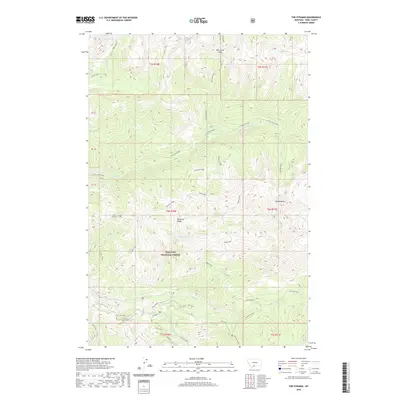
2020 Map of The Pyramid
USGS Topo · Published 2020About this map
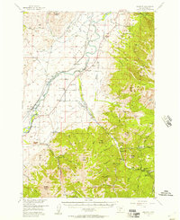
The Pyramid and Pyramid Mtn stand as central landmarks within this high-elevation section of the Absaroka Range in the Gallatin National Forest. This landscape is defined by its complex drainage network, where waters flow through E Fork Mill Creek and Colley Creek, often collecting in sub-alpine basins like Elbow Lake and Crystal Lake. High ridges such as Anderson Ridge and Crow Mountain segment the territory, providing a clear view of the natural barriers that historic travelers encountered at Mill Creek Pass. While much of the area remains largely inaccessible by vehicle, the southern edge shows the reach of local transport with Holland Rd and Dutch Rd extending into the foothills near Mill Cr. Named clearings like Moose Park and geological features like Agate Springs offer specific points of interest for those studying the intersection of the natural environment and local place-naming traditions.
Find a feature on this map
31 named features on this map. Tap any name to fly to it.
Don’t see what you’re looking for? This feature index may not catch every label — zoom into the map to look around manually.
Map Details
Editions of this 2020 The Pyramid Map
This is the sole edition of this map. No revisions or reprints were ever made.
Other maps of this area
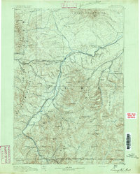
1891 · Livingston
USGS Topo · 1:250,000
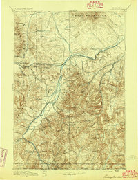
1893 · Livingston
USGS Topo · 1:250,000
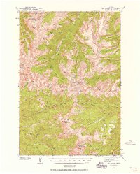
1940 · Mt. Cowen
USGS Topo · 1:62,500
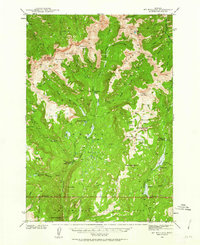
1940 · Mt Wallace
USGS Topo · 1:62,500
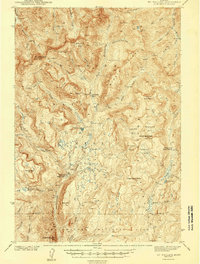
1943 · Mt Wallace
USGS Topo · 1:62,500
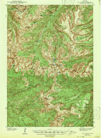
1943 · Mt Cowen
USGS Topo · 1:62,500

1947 · Bozeman
USGS Topo · 1:250,000

1948 · Bozeman
USGS Topo · 1:250,000
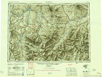
1955 · Bozeman
USGS Topo · 1:250,000
1955 · Emigrant
USGS Topo · 1:62,500