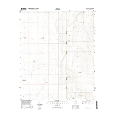
2014 Map of The Rincon
USGS Topo · Published 2014About this map
The Rincon and The Point define the high desert topography of the borderlands where Arizona and New Mexico meet. This 2014 survey captures a sparsely populated landscape dominated by natural drainages and livestock infrastructure. The map follows the boundary between Apache and Catron counties, showing how the land transitions across Cottonwood Canyon in the north and south. Human presence is evidenced primarily by remote access roads like Cr A001 and localized water resources such as Big Pit Tank. The grid of the Public Land Survey System, including townships like t11n r31e and t1n r21w, provides the primary structure for this border region, illustrating the enduring western legacy of section-based land management in an area with few formal settlements.
Find a feature on this map
14 named features on this map. Tap any name to fly to it.
Don’t see what you’re looking for? This feature index may not catch every label — zoom into the map to look around manually.
Map Details
Editions of this 2014 The Rincon Map
This is the sole edition of this map. No revisions or reprints were ever made.
Other maps of this area
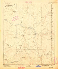
1886 · St Johns
USGS Topo · 1:250,000
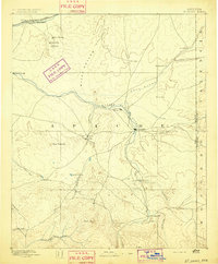
1892 · St Johns
USGS Topo · 1:250,000

1954 · Saint Johns
USGS Topo · 1:250,000

1957 · Saint Johns
USGS Topo · 1:250,000

1958 · Saint Johns
USGS Topo · 1:250,000

1962 · Saint Johns
USGS Topo · 1:250,000
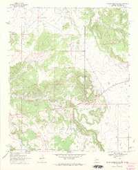
1968 · Nelson Reservoir NE
USGS Topo · 1:24,000
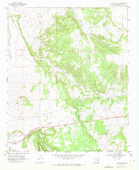
1969 · Coyote Hills
USGS Topo · 1:24,000
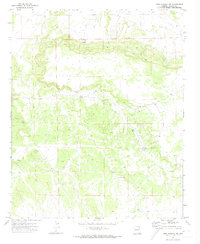
1971 · Mesa Parada NW
USGS Topo · 1:24,000
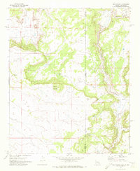
1971 · Mesa Parada
USGS Topo · 1:24,000