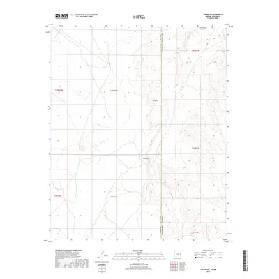
2018 Map of The Rincon
USGS Topo · Published 2018About this map
The Rincon defines the center of this high-altitude landscape along the border of Arizona and New Mexico, where deep desert canyons cut through the arid terrain. The boundary between Apache County, Arizona and Catron County, New Mexico runs north to south, intersecting prominent geographic features like The Point. Water resources, though sparse, are carefully noted on this 2018 survey, including Cottonwood Canyon in the north and Mauey Wash in the northeast corner. Modern access is represented by Co Rd A001, which winds through the central valley. This map is particularly useful for understanding the drainage patterns of the region, anchored by the presence of Big Rit Tank, a critical water collection point for local ranching and wildlife in an otherwise dry environment.
Find a feature on this map
15 named features on this map. Tap any name to fly to it.
Don’t see what you’re looking for? This feature index may not catch every label — zoom into the map to look around manually.
Map Details
Editions of this 2018 The Rincon Map
This is the sole edition of this map. No revisions or reprints were ever made.
Other maps of this area
1886 · St Johns
USGS Topo · 1:250,000
1892 · St Johns
USGS Topo · 1:250,000

1954 · Saint Johns
USGS Topo · 1:250,000

1957 · Saint Johns
USGS Topo · 1:250,000

1958 · Saint Johns
USGS Topo · 1:250,000

1962 · Saint Johns
USGS Topo · 1:250,000
1968 · Nelson Reservoir NE
USGS Topo · 1:24,000
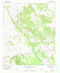
1969 · Coyote Hills
USGS Topo · 1:24,000
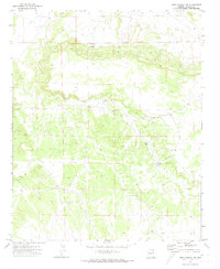
1971 · Mesa Parada NW
USGS Topo · 1:24,000
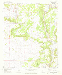
1971 · Mesa Parada
USGS Topo · 1:24,000