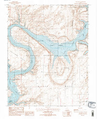
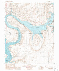
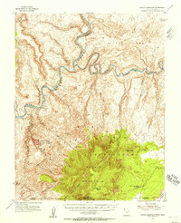
1987 Map of The Rincon
USGS Topo · Published 1988About this map
The Rincon, an ancient entrenched meander of the Colorado River, sits at the center of this 1987 survey. The landscape is defined by the waters of Lake Powell filling the depths of Glen Canyon within the Glen Canyon National Recreation Area. The geology of the region is prominently displayed through the massive Waterpocket Fold to the north and the expansive Wilson Mesa to the south.
Find a feature on this map
17 named features on this map. Tap any name to fly to it.
Don’t see what you’re looking for? This feature index may not catch every label — zoom into the map to look around manually.
Map Details
Editions of this 1987 The Rincon Map
2 editions found
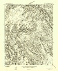
Other maps of this area

1886 · Henry Mountains
USGS Topo · 1:250,000

1892 · Henry Mountains
USGS Topo · 1:250,000
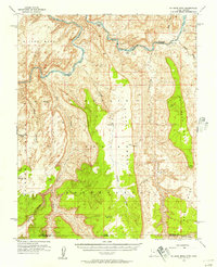
1953 · Navajo Mountain 4 NW
USGS Topo · 1:24,000
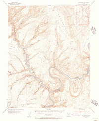
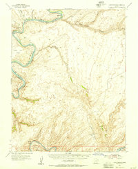
1953 · The Rincon
USGS Topo · 1:62,500
1953 · Lake Canyon
USGS Topo · 1:62,500
1953 · Navajo Mountain
USGS Topo · 1:62,500
1953 · No Mans Mesa
USGS Topo · 1:62,500

1956 · Escalante
USGS Topo · 1:250,000

1960 · Escalante
USGS Topo · 1:250,000
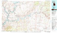
1981 · Navajo Mountain
USGS Topo · 1:100,000