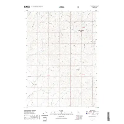
2020 Map of The Roost
USGS Topo · Published 2020About this map
The Roost serves as a central focal point for this 2020 topographical study of Idaho's high desert and forest interface. Located within the Boise National Forest, the landscape is defined by an intricate network of seasonal drainages and ridge-running forest roads. The terrain transitions from the open spaces of Sand Hollow in the west toward the more complex elevations of Cherry Gulch in the east.
Find a feature on this map
53 named features on this map. Tap any name to fly to it.
Don’t see what you’re looking for? This feature index may not catch every label — zoom into the map to look around manually.
Map Details
Editions of this 2020 The Roost Map
This is the sole edition of this map. No revisions or reprints were ever made.
Other maps of this area
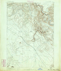
1892 · Mountain Home
USGS Topo · 1:125,000
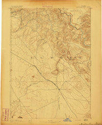
1893 · Mountain Home
USGS Topo · 1:125,000
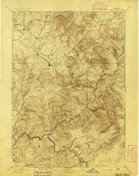
1894 · Idaho Basin
USGS Topo · 1:125,000

1955 · Hailey
USGS Topo · 1:250,000

1959 · Hailey
USGS Topo · 1:250,000
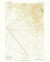
1960 · Mayfield
USGS Topo · 1:62,500
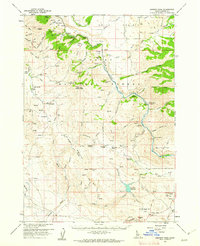
1960 · Danskin Peak
USGS Topo · 1:62,500

1962 · Hailey
USGS Topo · 1:250,000
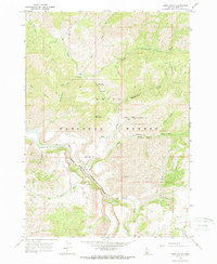
1964 · Long Gulch
USGS Topo · 1:24,000
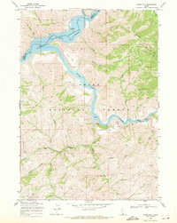
1969 · Grape Mtn
USGS Topo · 1:24,000