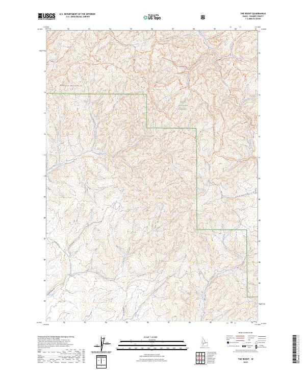
2023 Map of The Roost
USGS Topo · Published 2023About this map
The Danskin Mountains dominate this high-desert landscape in south-central Idaho, where a complex network of drainage basins and ridges defines the terrain within the Boise National Forest. The map documents a rugged watershed system where Roost Creek and Bowns Creek flow through deep ravines toward the south, while northern drainages like Corral Creek and Flat Creek carve through the steep slopes of the Danskin range. This 2023 survey highlights a modern infrastructure of backcountry access, centered on a dense web of motorized and hiking paths such as Danskin #500 Trl and Danskin #310 Trl. These routes, alongside Slater Flat Rd, suggest the area’s contemporary use for forest management and outdoor recreation, while place names like Cherry Gulch and Porcupine Creek speak to the local natural history of this Elmore County wilderness.
Find a feature on this map
45 named features on this map. Tap any name to fly to it.
Don’t see what you’re looking for? This feature index may not catch every label — zoom into the map to look around manually.
Map Details
Editions of this 2023 The Roost Map
This is the sole edition of this map. No revisions or reprints were ever made.
Other maps of this area

1892 · Mountain Home
USGS Topo · 1:125,000

1893 · Mountain Home
USGS Topo · 1:125,000

1894 · Idaho Basin
USGS Topo · 1:125,000

1955 · Hailey
USGS Topo · 1:250,000

1959 · Hailey
USGS Topo · 1:250,000

1960 · Mayfield
USGS Topo · 1:62,500

1960 · Danskin Peak
USGS Topo · 1:62,500

1962 · Hailey
USGS Topo · 1:250,000
1964 · Long Gulch
USGS Topo · 1:24,000
1969 · Grape Mtn
USGS Topo · 1:24,000