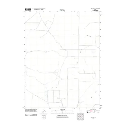
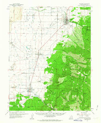
2010 Map of The Sink
USGS Topo · Published 2010About this map
Pahvant Valley defines the landscape of this Millard County interior, characterized by a highly organized grid of rural routes. The drainage patterns of Chalk Creek and Pioneer Wash converge toward a significant geographical depression known simply as The Sink. This terminal point for local water flow highlights the arid, basin-like nature of the region. To the east, the terrain rises sharply toward Bald Mountain and West Mountain, providing a stark topographic contrast to the flat valley floor. The map documents a sparsely settled agricultural or grazing landscape, where the human presence is recorded primarily through an extensive network of secondary roads such as W 4700 North St and N 6000 W, which segment the valley into large, functional blocks typical of modern Great Basin land management.
Find a feature on this map
24 named features on this map. Tap any name to fly to it.
Don’t see what you’re looking for? This feature index may not catch every label — zoom into the map to look around manually.
Map Details
Editions of this 2010 The Sink Map
This is the sole edition of this map. No revisions or reprints were ever made.
Other maps of this area
1885 · Beaver
USGS Topo · 1:250,000

1885 · Sevier Desert
USGS Topo · 1:250,000

1953 · Richfield
USGS Topo · 1:250,000

1953 · Delta
USGS Topo · 1:250,000

1958 · Richfield
USGS Topo · 1:250,000

1958 · Delta
USGS Topo · 1:250,000
1960 · Meadow
USGS Topo · 1:24,000
1961 · Fillmore
USGS Topo · 1:24,000

1962 · Delta
USGS Topo · 1:250,000
1962 · Fillmore
USGS Topo · 1:62,500