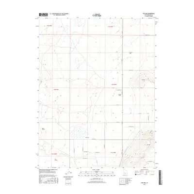
2017 Map of The Sink
USGS Topo · Published 2017About this map
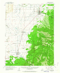
Pahvant Valley serves as the primary landscape for this Millard County topographic study, which illustrates the complex water management and distinct geological formations of the region. The central drainage feature known as The Sink dominates the lower-elevation basin, fed by surrounding watercourses like Chalk Cr and the engineered Central Utah Canal. This grid-heavy landscape is marked by numerous east-west roads, including W 2600 North St, which provide access through the arid terrain toward prominent local landmarks. The contrast between the flat valley floor and the surrounding heights is sharp, with Bald Mtn and West Mtn rising to the east and south. Geologically interesting areas such as Devils Kitchen and the volcanic-named The Cinders highlight the varied surface features found throughout this portion of the Utah desert.
Find a feature on this map
28 named features on this map. Tap any name to fly to it.
Don’t see what you’re looking for? This feature index may not catch every label — zoom into the map to look around manually.
Map Details
Editions of this 2017 The Sink Map
This is the sole edition of this map. No revisions or reprints were ever made.
Other maps of this area
1885 · Beaver
USGS Topo · 1:250,000

1885 · Sevier Desert
USGS Topo · 1:250,000

1953 · Richfield
USGS Topo · 1:250,000

1953 · Delta
USGS Topo · 1:250,000

1958 · Richfield
USGS Topo · 1:250,000

1958 · Delta
USGS Topo · 1:250,000
1960 · Meadow
USGS Topo · 1:24,000
1961 · Fillmore
USGS Topo · 1:24,000

1962 · Delta
USGS Topo · 1:250,000
1962 · Fillmore
USGS Topo · 1:62,500