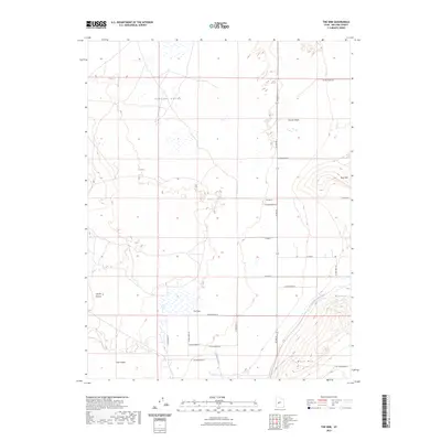
2023 Map of The Sink
USGS Topo · Published 2023About this map
Pahvant Valley serves as the backdrop for this topographic study, where the arid basin floor meets distinct volcanic and desert landforms. The namesake depression of The Sink and the basaltic flows of The Cinders reveal a complex geological history, punctuated by the striking relief of Bald Mtn and West Mtn. Human modification of this water-scarce environment is visible through the engineered path of the Central Utah Canal, which cuts across the eastern contours to bring water to the valley floor.
Find a feature on this map
26 named features on this map. Tap any name to fly to it.
Don’t see what you’re looking for? This feature index may not catch every label — zoom into the map to look around manually.
Map Details
Editions of this 2023 The Sink Map
This is the sole edition of this map. No revisions or reprints were ever made.
Other maps of this area

1885 · Beaver
USGS Topo · 1:250,000

1885 · Sevier Desert
USGS Topo · 1:250,000

1953 · Richfield
USGS Topo · 1:250,000

1953 · Delta
USGS Topo · 1:250,000

1958 · Richfield
USGS Topo · 1:250,000

1958 · Delta
USGS Topo · 1:250,000

1960 · Meadow
USGS Topo · 1:24,000

1961 · Fillmore
USGS Topo · 1:24,000

1962 · Delta
USGS Topo · 1:250,000

1962 · Fillmore
USGS Topo · 1:62,500