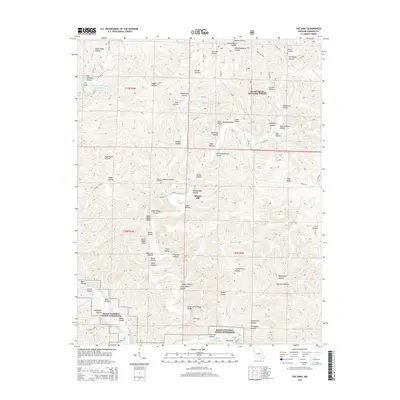
2015 Map of The Sinks
USGS Topo · Published 2015About this map
Mauser Mill and the deeply carved valleys of the Ozarks define this landscape within the Mark Twain National Forest. The map captures a complex topography of named hollows, many reflecting early family settlements and land use, such as Aunt Sal Hollow, Warren Hollow, and Capps Hollow. The presence of the Old Schoolhouse Hollow and the Mail Route Hollow points to the historical social infrastructure of this rural corridor. Notable geological and water features include The Sinks, The Emerald Grotto, and the George Hellmuth Upper Lake. The southern portion of the quadrangle is protected as part of the Ozark National Scenic Riverways, where the Current River flows past numerous local landmarks like Polk Ridge and Cedar House Hollow.
Find a feature on this map
77 named features on this map. Tap any name to fly to it.
Don’t see what you’re looking for? This feature index may not catch every label — zoom into the map to look around manually.
Map Details
Editions of this 2015 The Sinks Map
This is the sole edition of this map. No revisions or reprints were ever made.
Other maps of this area

1915 · Eminence
USGS Topo · 1:62,500

1917 · Eminence
USGS Topo · 1:62,500

1928 · Cardareva
USGS Topo · 1:62,500

1944 · Corridon
USGS Topo · 1:62,500

1945 · Round Spring
USGS Topo · 1:62,500

1947 · Sinkin
USGS Topo · 1:48,000

1947 · Corridon
USGS Topo · 1:62,500

1949 · Round Spring
USGS Topo · 1:62,500

1949 · Rolla
USGS Topo · 1:250,000

1949 · Cardareva
USGS Topo · 1:62,500