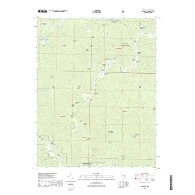
2017 Map of The Sinks
USGS Topo · Published 2017About this map
The Sinks and the Mauser Mill settlement characterize this 2017 survey of the Missouri Ozarks, where intricate drainage patterns have carved a labyrinth of hollows. The landscape is defined by the subterranean influence of Sinking Cr, which feeds into the George Hellmuth Lower Lake and George Hellmuth Upper Lake near The Emerald Grotto. This region within the Mark Twain National Forest and Ozark National Scenic Riverways reflects a deep history of rural habitation, evidenced by numerous named geographic features that suggest former sites of activity. Genealogists can identify family-connected locations like Heaton Cem and Conway Cem, while the names Old Schoolhouse Hollow and Mail Route Hollow preserve the memory of early community infrastructure along the banks of Big Cr and the Current River.
Find a feature on this map
93 named features on this map. Tap any name to fly to it.
Don’t see what you’re looking for? This feature index may not catch every label — zoom into the map to look around manually.
Map Details
Editions of this 2017 The Sinks Map
This is the sole edition of this map. No revisions or reprints were ever made.
Other maps of this area

1915 · Eminence
USGS Topo · 1:62,500

1917 · Eminence
USGS Topo · 1:62,500

1928 · Cardareva
USGS Topo · 1:62,500

1944 · Corridon
USGS Topo · 1:62,500

1945 · Round Spring
USGS Topo · 1:62,500

1947 · Sinkin
USGS Topo · 1:48,000

1947 · Corridon
USGS Topo · 1:62,500

1949 · Round Spring
USGS Topo · 1:62,500

1949 · Rolla
USGS Topo · 1:250,000

1949 · Cardareva
USGS Topo · 1:62,500