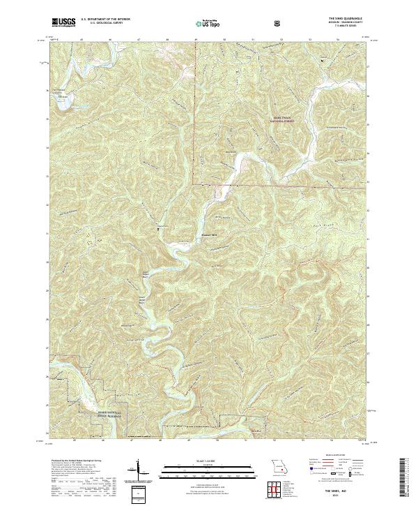
2021 Map of The Sinks
USGS Topo · Published 2021About this map
Sinking Creek carves a complex path through this portion of Shannon County, meeting the Current River within the protected bounds of the Mark Twain National Forest and the Ozark National Scenic Riverway. The landscape is defined by dozens of steep-walled drainages, including Happy Hollow, Henhouse Hollow, and Capps Hollow, many named for early settlers or their agricultural uses. Notable karst features like The Emerald Grotto and The Sinks reflect the region's subterranean hydrology, while landmarks such as Mauser Mill and the Heaton Cem point to the historic community nodes that once dotted these valleys. Geologists and local historians can trace the relationship between the dramatic river bluffs, like Upper Dugan Bluff and Bee Bluff, and the winding trails and forest roads that provide access to this densely wooded terrain.
Find a feature on this map
84 named features on this map. Tap any name to fly to it.
Don’t see what you’re looking for? This feature index may not catch every label — zoom into the map to look around manually.
Map Details
Editions of this 2021 The Sinks Map
This is the sole edition of this map. No revisions or reprints were ever made.
Other maps of this area

1915 · Eminence
USGS Topo · 1:62,500

1917 · Eminence
USGS Topo · 1:62,500

1928 · Cardareva
USGS Topo · 1:62,500

1944 · Corridon
USGS Topo · 1:62,500

1945 · Round Spring
USGS Topo · 1:62,500

1947 · Sinkin
USGS Topo · 1:48,000

1947 · Corridon
USGS Topo · 1:62,500

1949 · Round Spring
USGS Topo · 1:62,500

1949 · Rolla
USGS Topo · 1:250,000

1949 · Cardareva
USGS Topo · 1:62,500