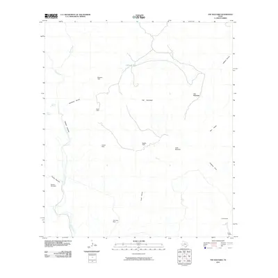
2010 Map of The Solitario
USGS Topo · Published 2010About this map
The Solitario dominates this high-desert landscape in Presidio County, defined by its massive circular geologic structure and deeply incised drainages. The map reveals a land of scarce water and isolated outposts, where seasonal water sources like McGuirks Tanks, Seep Spring, and Old Log Spring were vital for survival and livestock. Human presence is marked by scattered sites such as Tres Papalotes, Burnt Camp, and La Escondida, reflecting the long-standing ranching tradition of the Big Bend region.
Find a feature on this map
22 named features on this map. Tap any name to fly to it.
Don’t see what you’re looking for? This feature index may not catch every label — zoom into the map to look around manually.
Map Details
Editions of this 2010 The Solitario Map
This is the sole edition of this map. No revisions or reprints were ever made.
Other maps of this area

1903 · Terlingua
USGS Topo · 1:125,000

1904 · Terlingua
USGS Topo · 1:125,000

1917 · Agua Fria
USGS Topo · 1:62,500

1917 · Tascotal Mesa
USGS Topo · 1:62,500

1931 · Lajitas
USGS Topo · 1:62,500

1937 · Agua Fria
USGS Topo · 1:62,500

1944 · Tascotal Mesa
USGS Topo · 1:62,500

1959 · Emory Peak
USGS Topo · 1:250,000

1965 · Emory Peak
USGS Topo · 1:250,000

1971 · Yellow Hill
USGS Topo · 1:24,000