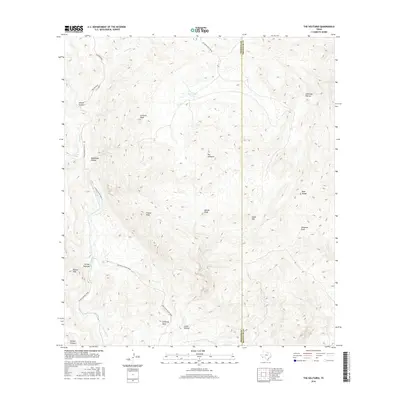
2016 Map of The Solitario
USGS Topo · Published 2016About this map
The Solitario dominates this high-desert landscape in Presidio and Brewster counties, revealing a massive geologic formation defined by its dramatic circular rim and interior peaks. The complex drainage network of Fresno Canyon and Fresno Creek cuts through the western portion of the map, while distinct landmarks like Solitario Peak, Needle Peak, and Eagle Mtn rise above the surrounding terrain. Early transportation routes are clearly visible, with the Old Government Road traversing the southern canyons and the Fresno Canyon Road following the creek bed. Rare water sources in this arid environment are marked by McGuirks Tanks, Old Log Spring, and Seep Spring. The map also captures specialized terrain features known as "shutups" — narrow gaps where streams exit the central dome — including the Righthand Shutup, Lefthand Shutup, and Lower Shutup.
Find a feature on this map
25 named features on this map. Tap any name to fly to it.
Don’t see what you’re looking for? This feature index may not catch every label — zoom into the map to look around manually.
Map Details
Editions of this 2016 The Solitario Map
This is the sole edition of this map. No revisions or reprints were ever made.
Other maps of this area
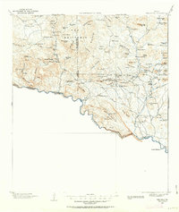
1903 · Terlingua
USGS Topo · 1:125,000
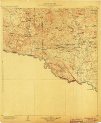
1904 · Terlingua
USGS Topo · 1:125,000
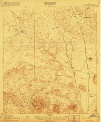
1917 · Agua Fria
USGS Topo · 1:62,500
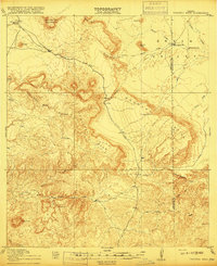
1917 · Tascotal Mesa
USGS Topo · 1:62,500
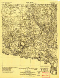
1931 · Lajitas
USGS Topo · 1:62,500
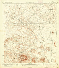
1937 · Agua Fria
USGS Topo · 1:62,500
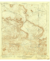
1944 · Tascotal Mesa
USGS Topo · 1:62,500
1959 · Emory Peak
USGS Topo · 1:250,000
1965 · Emory Peak
USGS Topo · 1:250,000
1971 · Yellow Hill
USGS Topo · 1:24,000