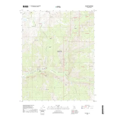
2018 Map of The Sphinx
USGS Topo · Published 2018About this map
Kings Canyon National Park dominates this high-altitude landscape, where the Kings River and Bubbs Creek carve through massive granite formations. The settlement at Kanawyers serves as a small human footprint in a region defined by verticality and seasonal water, located near the lush Zumwalt Meadows. Elevation changes are dramatic, managed only by intricate trail systems like the Upper Copper Creek Switchbacks and Bubbs Creek Switchbacks, which provide access to remote basins and high camps.
Find a feature on this map
51 named features on this map. Tap any name to fly to it.
Don’t see what you’re looking for? This feature index may not catch every label — zoom into the map to look around manually.
Map Details
Editions of this 2018 The Sphinx Map
This is the sole edition of this map. No revisions or reprints were ever made.
Other maps of this area
1903 · Tehipite
USGS Topo · 1:125,000
1905 · Tehipite
USGS Topo · 1:125,000
1907 · Mt. Whitney
USGS Topo · 1:125,000
1919 · Mt. Whitney
USGS Topo · 1:125,000
1937 · Mt. Whitney
USGS Topo · 1:125,000
1948 · Fresno
USGS Topo · 1:250,000
1953 · Mt. Pinchot
USGS Topo · 1:62,500
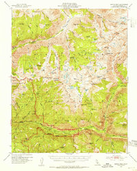
1953 · Marion Peak
USGS Topo · 1:62,500
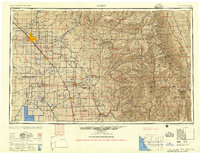
1955 · Fresno
USGS Topo · 1:250,000
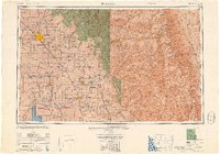
1956 · Fresno
USGS Topo · 1:250,000