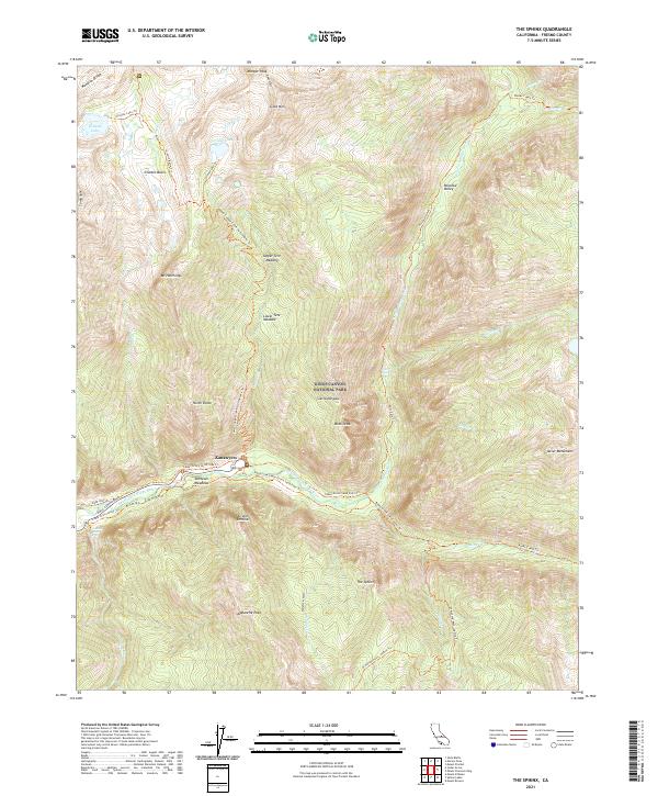
2021 Map of The Sphinx
USGS Topo · Published 2021About this map
Kings Canyon National Park is defined here by the steep elevation changes of the Sierra Nevada range, where the South Fork Kings River carves a deep valley floor. Near Kanawyers, the landscape transitions from the lush Zumwalt Meadows to towering granite formations like the Grand Sentinel and the namesake The Sphinx. The map documents a complex network of recreational paths, including the Cedar Grove River Trl and the Mist Falls Trl, which navigate the dramatic terrain of the Kings Canyon.
Find a feature on this map
57 named features on this map. Tap any name to fly to it.
Don’t see what you’re looking for? This feature index may not catch every label — zoom into the map to look around manually.
Map Details
Editions of this 2021 The Sphinx Map
This is the sole edition of this map. No revisions or reprints were ever made.
Other maps of this area

1903 · Tehipite
USGS Topo · 1:125,000

1905 · Tehipite
USGS Topo · 1:125,000

1907 · Mt. Whitney
USGS Topo · 1:125,000

1919 · Mt. Whitney
USGS Topo · 1:125,000

1937 · Mt. Whitney
USGS Topo · 1:125,000

1948 · Fresno
USGS Topo · 1:250,000

1953 · Mt. Pinchot
USGS Topo · 1:62,500

1953 · Marion Peak
USGS Topo · 1:62,500

1955 · Fresno
USGS Topo · 1:250,000

1956 · Fresno
USGS Topo · 1:250,000