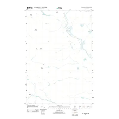
2011 Map of The Traveler
USGS Topo · Published 2011About this map
The Traveler and its sister peaks, North Traveler Mountain and South Traveler Mountain, anchor this portion of the Maine north woods. The landscape is defined by the dramatic relief between these summits and the intricate drainage systems that feed into the East Branch Penobscot River and Wassataquoik Stream. In the northern reaches, the river winds through The Oxbow and descends past Stair Falls, while to the south, the stream features notable drops at Grand Falls and Norway Falls. A singular evidence of former habitation or logging activity appears at Old City, situated along the lower waters. High-elevation features like Traveler Gap and Traveler Pond suggest a topography that dictated early movement through these hills long before the modern era of conservation. The area remains a complex network of ponds and ridges, from Middle Fowler Pond to Sable Mountain.
Find a feature on this map
32 named features on this map. Tap any name to fly to it.
Don’t see what you’re looking for? This feature index may not catch every label — zoom into the map to look around manually.
Map Details
Editions of this 2011 The Traveler Map
This is the sole edition of this map. No revisions or reprints were ever made.
Other maps of this area

1927 · Katahdin
USGS Topo · 1:48,000

1930 · Katahdin
USGS Topo · 1:62,500

1949 · Katahdin
USGS Topo · 1:62,500

1953 · Stacyville
USGS Topo · 1:62,500

1954 · Shin Pond
USGS Topo · 1:62,500

1954 · Presque Isle
USGS Topo · 1:250,000

1954 · Millinocket
USGS Topo · 1:250,000

1955 · Traveler Mountain
USGS Topo · 1:62,500

1958 · Presque Isle
USGS Topo · 1:250,000

1958 · Millinocket
USGS Topo · 1:250,000