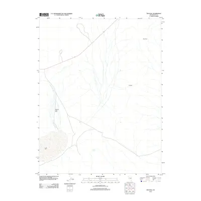
2012 Map of The Wall
USGS Topo · Published 2012About this map
Lunar Lake dominates the southwestern corner of this desert landscape, its broad basin serving as a natural terminus for the seasonal drainage of Sand Springs Wash. The terrain is defined by stark geological formations, including the prominent ridge of The Wall and the distinct outcrop of Black Rock to the north. Water in this arid environment is channeled through the Narrows Catch Basin and sourced from isolated points like Barney Spring, reflecting the sparse but critical hydrologic network of central Nevada. A single highway, 6, cuts diagonally across the upper portion of the quadrangle, providing the primary connection through this expansive territory where the landform itself dictates the path of travel and infrastructure.
Find a feature on this map
7 named features on this map. Tap any name to fly to it.
Don’t see what you’re looking for? This feature index may not catch every label — zoom into the map to look around manually.
Map Details
Editions of this 2012 The Wall Map
This is the sole edition of this map. No revisions or reprints were ever made.
Other maps of this area

1956 · Lund
USGS Topo · 1:250,000

1956 · Tonopah
USGS Topo · 1:250,000

1959 · Tonopah
USGS Topo · 1:250,000

1960 · Lund
USGS Topo · 1:250,000

1962 · Tonopah
USGS Topo · 1:250,000
1967 · Lunar Crater
USGS Topo · 1:62,500
1967 · Moores Station
USGS Topo · 1:62,500
1967 · Moores Station SE
USGS Topo · 1:24,000
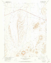
1967 · Lunar Crater
USGS Topo · 1:24,000
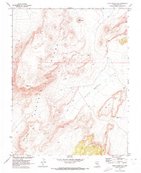
1967 · Chuck Wagon Flat
USGS Topo · 1:24,000