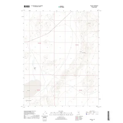
2018 Map of The Wall
USGS Topo · Published 2018About this map
Sand Springs Wash defines the drainage patterns of this arid portion of Nye County, where the landscape is characterized by intermittent water features and topographical basins. The presence of the Narrows Catch Basin indicates specific water management or natural collection points within the dry terrain. This 2018 survey provides a clear view of the complex contours and elevation changes that shape this high-desert environment, offering essential data for those studying the physical geography or land use history of central Nevada. The map reflects a modern topographical record of the area, illustrating the relationship between the natural watercourses and the surrounding high-elevation plateaus.
Find a feature on this map
2 named features on this map. Tap any name to fly to it.
Don’t see what you’re looking for? This feature index may not catch every label — zoom into the map to look around manually.
Map Details
Editions of this 2018 The Wall Map
This is the sole edition of this map. No revisions or reprints were ever made.
Other maps of this area

1956 · Lund
USGS Topo · 1:250,000

1956 · Tonopah
USGS Topo · 1:250,000

1959 · Tonopah
USGS Topo · 1:250,000

1960 · Lund
USGS Topo · 1:250,000

1962 · Tonopah
USGS Topo · 1:250,000
1967 · Lunar Crater
USGS Topo · 1:62,500
1967 · Moores Station
USGS Topo · 1:62,500
1967 · Moores Station SE
USGS Topo · 1:24,000
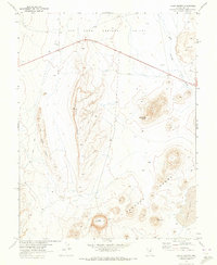
1967 · Lunar Crater
USGS Topo · 1:24,000
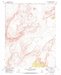
1967 · Chuck Wagon Flat
USGS Topo · 1:24,000