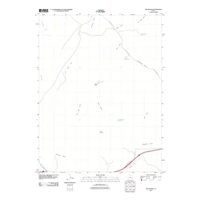
2011 Map of The Wickiup
USGS Topo · Published 2011About this map
The Wickiup serves as a central landmark in this high-desert landscape, where land use is defined by a sparse but critical network of water improvements and dirt tracks. In the early 21st century, the distribution of water features like Three Coves Reservoir, Sids Reservoir, and Road Hollow Reservoir indicates a landscape primarily managed for livestock or local water storage. The presence of Mexican Seep and Round Knoll Pond highlights how geography dictates the few pockets of moisture available in this arid terrain. Transport is dominated by the Buckhorn Draw Rd which winds through the eastern portion of the sheet, connecting diverse topographic features such as Limestone Bench and Sagebrush Bench. The prevalence of named drainage features, including Oil Well Draw and Cottonwood Draw, reflects the historical importance of tracing dry washes for navigation and resource location in Emery County.
Find a feature on this map
19 named features on this map. Tap any name to fly to it.
Don’t see what you’re looking for? This feature index may not catch every label — zoom into the map to look around manually.
Map Details
Editions of this 2011 The Wickiup Map
This is the sole edition of this map. No revisions or reprints were ever made.
Other maps of this area

1885 · San Rafael
USGS Topo · 1:250,000
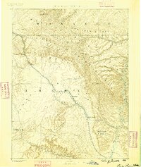
1886 · Price River
USGS Topo · 1:250,000
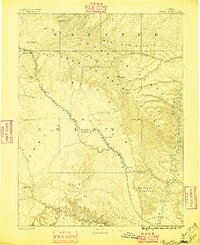
1896 · Price River
USGS Topo · 1:250,000
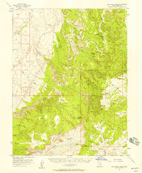
1952 · San Rafael Knob
USGS Topo · 1:62,500
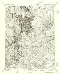
1953 · Stinking Spring Creek 2 SE
USGS Topo · 1:24,000
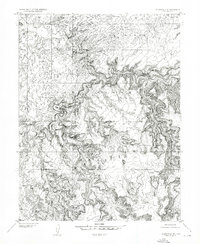
1953 · Wilsonville SE
USGS Topo · 1:24,000
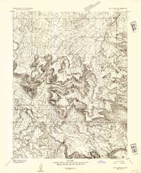
1953 · Red Plateau SE
USGS Topo · 1:24,000
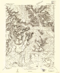
1953 · Red Plateau SW
USGS Topo · 1:24,000
1954 · Stinking Spring Creek 1 SE
USGS Topo · 1:24,000
1954 · Stinking Spring Creek 1 NW
USGS Topo · 1:24,000