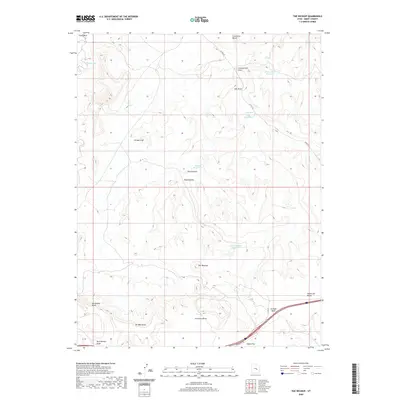
2020 Map of The Wickiup
USGS Topo · Published 2020About this map
The Wickiup and its surrounding canyonlands are documented here in 2020, revealing a landscape defined by deep draws and high plateaus. The topography is marked by several water management features, including Three Coves Reservoir and Road Hollow Reservoir, which serve this arid region of Emery County. Evidence of resource exploration appears at Oil Well Flat and Oil Well Draw, while the complex drainage network is anchored by Cane Wash and Straight Wash. The presence of named landmarks such as Round Knoll and Limestone Bench provides orientation across the high-desert terrain. Transportation in the area is limited to rural routes like Co RD 332 and Temple Mt Rd, highlighting the remote nature of this geological survey area.
Find a feature on this map
22 named features on this map. Tap any name to fly to it.
Don’t see what you’re looking for? This feature index may not catch every label — zoom into the map to look around manually.
Map Details
Editions of this 2020 The Wickiup Map
This is the sole edition of this map. No revisions or reprints were ever made.
Other maps of this area

1885 · San Rafael
USGS Topo · 1:250,000
1886 · Price River
USGS Topo · 1:250,000
1896 · Price River
USGS Topo · 1:250,000
1952 · San Rafael Knob
USGS Topo · 1:62,500
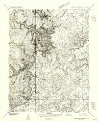
1953 · Stinking Spring Creek 2 SE
USGS Topo · 1:24,000
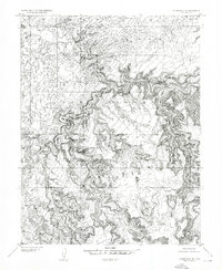
1953 · Wilsonville SE
USGS Topo · 1:24,000
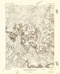
1953 · Red Plateau SE
USGS Topo · 1:24,000
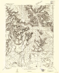
1953 · Red Plateau SW
USGS Topo · 1:24,000
1954 · Stinking Spring Creek 1 SE
USGS Topo · 1:24,000
1954 · Stinking Spring Creek 1 NW
USGS Topo · 1:24,000