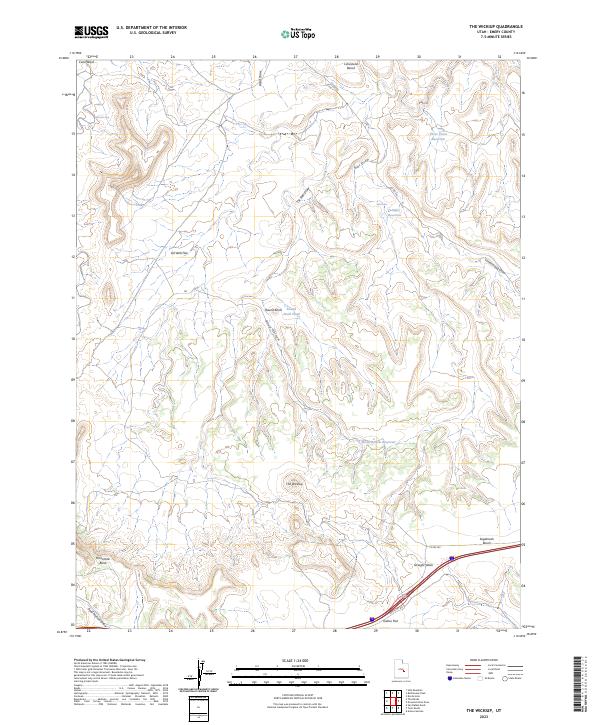
2023 Map of The Wickiup
USGS Topo · Published 2023About this map
The Wickiup towers over a landscape defined by seasonal water storage and complex drainage patterns in Emery County. This modern survey illustrates how water management shapes the arid terrain, featuring Sids Reservoir, Three Coves Reservoir, and Road Hollow Reservoir. The topography is marked by named flats and benches, including Limestone Bench and Oil Well Flat, which suggest both the geological composition and the historical human activity in the area.
Find a feature on this map
23 named features on this map. Tap any name to fly to it.
Don’t see what you’re looking for? This feature index may not catch every label — zoom into the map to look around manually.
Map Details
Editions of this 2023 The Wickiup Map
This is the sole edition of this map. No revisions or reprints were ever made.
Other maps of this area

1885 · San Rafael
USGS Topo · 1:250,000

1886 · Price River
USGS Topo · 1:250,000

1896 · Price River
USGS Topo · 1:250,000

1952 · San Rafael Knob
USGS Topo · 1:62,500

1953 · Stinking Spring Creek 2 SE
USGS Topo · 1:24,000

1953 · Wilsonville SE
USGS Topo · 1:24,000

1953 · Red Plateau SE
USGS Topo · 1:24,000

1953 · Red Plateau SW
USGS Topo · 1:24,000

1954 · Stinking Spring Creek 1 SE
USGS Topo · 1:24,000

1954 · Stinking Spring Creek 1 NW
USGS Topo · 1:24,000