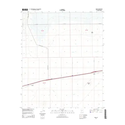
2014 Map of Theba
USGS Topo · Published 2014About this map
Theba and Piedra stand as the primary anchors of settlement along the southern corridor of the Arizona desert in this 2014 study. The landscape is defined by the rigid grid of the Public Land Survey System, with the intersection of township and range lines like t5s r7w and t6s r7w organizing the arid terrain. Infrastructure follows the path of least resistance through the flatlands, where the Interstate 8 corridor and several lateral irrigation features reflect the ongoing management of water and transit in this Maricopa County region. The map provides a precise look at how the sparse desert outposts of the Southwest are linked by modern highway systems and structured by historic land divisions.
Find a feature on this map
2 named features on this map. Tap any name to fly to it.
Don’t see what you’re looking for? This feature index may not catch every label — zoom into the map to look around manually.
Map Details
Editions of this 2014 Theba Map
This is the sole edition of this map. No revisions or reprints were ever made.
Other maps of this area

1942 · Vicksburg
USGS Topo · 1:250,000

1949 · Sentinel
USGS Topo · 1:62,500

1950 · Sentinel
USGS Topo · 1:62,500

1950 · Theba
USGS Topo · 1:62,500

1951 · Theba
USGS Topo · 1:62,500

1951 · Dendora Valley
USGS Topo · 1:62,500

1951 · Woolsey Peak
USGS Topo · 1:62,500

1953 · Ajo
USGS Topo · 1:250,000

1954 · Phoenix
USGS Topo · 1:250,000

1957 · Ajo
USGS Topo · 1:250,000